Image (for representation purpose)
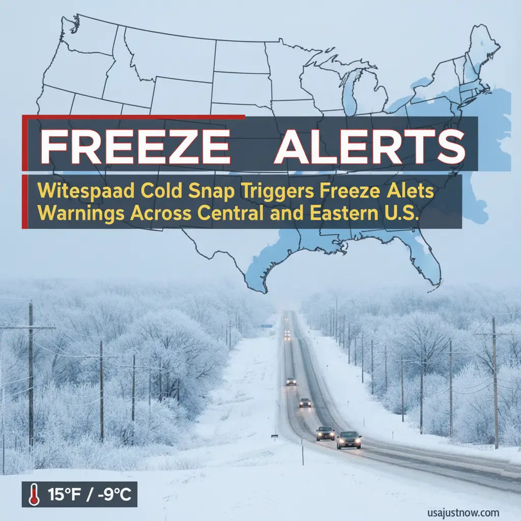
United States – Widespread Cold Snap Triggers Freeze Warnings and Frost Advisories from the Midwest through the Appalachians into the Mid‑Atlantic tonight into Friday morning, bringing lows broadly in the 20s and low 30s and isolated colder pockets that can damage vegetation and unprotected plumbing (national roundup via USA Today and Yahoo). Clear skies and light winds will enhance radiational cooling, creating a classic overnight freeze setup in valleys and rural locations away from urban heat islands (regional detail via 828 News Now and national overview via USA Today).
Who is under alerts tonight
Upper Midwest and central states: Freeze and frost alerts are active with lows commonly in the upper 20s to low 30s and isolated colder rural pockets in parts of Wisconsin, Illinois, Iowa, and Nebraska (national mapping and ranges via USA Today).
Tri‑States (IL/IA/MO): Local postings indicate overnight frost advisories near freezing through early Friday, signaling an effective end to the growing season without protection (regional posts and video updates from WGEM).
Miami Valley/Dayton, Ohio: A Freeze Warning is in effect from 1 a.m. to 9 a.m. Friday; residents should prepare for sub‑freezing pre‑dawn temperatures.
Appalachians and Carolinas: Western North Carolina mountain counties (Buncombe, Haywood, Madison, Swain, Macon) and parts of Burke, Caldwell, Graham, Jackson, and McDowell are under a Freeze Warning roughly 2 a.m.–9 a.m. Friday, with lows near 29°F and colder on high peaks.
Mid‑Atlantic: Portions of Maryland, Virginia, and West Virginia carry Freeze Warnings and Frost Advisories with lows around 29–32°F, raising risks for exposed vegetation and outdoor plumbing.
Why these alerts matter
Vegetation and crops: A Frost Advisory generally corresponds to temperatures around 33–36°F with conditions favorable for frost, while a Freeze Warning indicates widespread sub‑32°F temperatures that can kill outdoor plants and stress unprotected plumbing.
Outdoor plumbing and utilities: Exposed pipes, sillcocks, and sprinkler systems can freeze and burst under sub‑freezing conditions, prompting basic protections ahead of pre‑dawn minimums (guidance cited in local FOX 5 DC and national USA Today coverage).
Public safety and planning: Early‑season cold snaps challenge preparedness in regions not yet winterized, especially for households and growers relying on late‑season harvests (national and regional context via USA Today and 828 News Now).
What to do right now
Protect plants: Bring containers indoors and cover tender in‑ground plants before sunset; remove covers after sunrise to prevent overheating (national and NWS guidance via USA Today).
Safeguard plumbing: Detach hoses, insulate exterior lines, drain irrigation systems, and consider a slow drip on vulnerable faucets overnight near or below freezing (local consumer guidance via FOX 5 DC).
Reduce fire risk: In WNC and other dry, breezy pockets, postpone outdoor burning and secure ignition sources while humidity is low and winds can spread embers (regional note from 828 News Now).
Personal safety: If outside before dawn, dress in layers and limit exposure, particularly where wind chills add to the cold stress (national overview via USA Today).
Monitor updates: Check your local NWS office page or trusted station for timing or coverage changes overnight (regional and national reminders via 828 News Now and USA Today).
Quick guide: Frost vs. Freeze
Frost Advisory: Typical air temperatures around 33–36°F with frost formation possible, which can still injure sensitive plants (official definitions from NWS Frost/Freeze).
Freeze Warning: Widespread sub‑32°F temperatures likely, capable of killing outdoor plants and stressing unprotected plumbing (official definitions from NWS Frost/Freeze).
Regional snapshot (Tonight → Friday AM)
| Region | Expected lows | Alert type | Key impacts |
|---|---|---|---|
| Upper Midwest (WI/IL/IA/NE) | 26–30°F (isolated colder rural pockets) | Frost/Freeze Alerts | Plant damage; season‑ending freezes possible |
| WNC Mountains (e.g., Buncombe) | 25–29°F; colder high peaks | Freeze Warning (≈2–9 a.m. Fri) | Plant kill likely; pipe precautions advised |
| Mid‑Atlantic (MD/VA/WV) | 29–32°F | Freeze Warnings/Frost Advisories | Cover plants; protect outdoor plumbing |
| Central/Eastern U.S. (broad) | Low 20s to 30s | Scattered Frost/Freeze Alerts | Widespread end‑of‑season frost risk |
Timeline and near‑term forecast
The primary risk window is late tonight through roughly 2 a.m.–9 a.m. Friday in many alert areas, with locally colder pockets before sunrise where skies are clearest and winds lightest (regional and local timing cues via 828 News Now and FOX 5 DC). Into the weekend, dry and cool high pressure lingers with chilly nights and seasonably cool days; early next week, a system may bring some rain and slightly modify overnight lows depending on timing and cloud cover (regional outlook from 828 News Now).
Local perspectives you can use
Asheville area: Use plant coverings with windbreaks at higher elevations and delay outdoor burning while the Freeze Warning is in effect (regional guidance via 828 News Now).
DC metro and Shenandoah Valley: Protect hoses, sillcocks, and exposed pipes; consider a faucet drip and move container gardens indoors ahead of pre‑dawn lows near or below freezing (local station guidance via FOX 5 DC).
Tri‑States (IL/IA/MO): Expect frost where skies clear and winds ease; treat this as the effective end of the growing season without active protection (local postings from WGEM).
Cincinnati/Dayton corridor: Freeze headlines include a Friday morning warning; gardeners and homeowners should take overnight precautions now (local and regional guidance via Dayton 247 Now and Yahoo).
Verification and safeguards
Alert geography and timing align with National Weather Service communications as carried by national and local outlets (USA Today, Yahoo, 828 News Now, FOX 5 DC, WGEM, Dayton 247 Now) to ensure multi‑market consistency in coverage. Frost/Freeze definitions and thresholds follow the National Weather Service reference materials to maintain accuracy across regions and seasons.
Alerts verified via NWS offices and local stations; check your local NWS page for updates.


