Pacific’s Dual Challenge: Hawaii Braces for Hurricane Kiko, While Tropical Storm Lorena Unleashes Flooding in Mexico and US Southwest
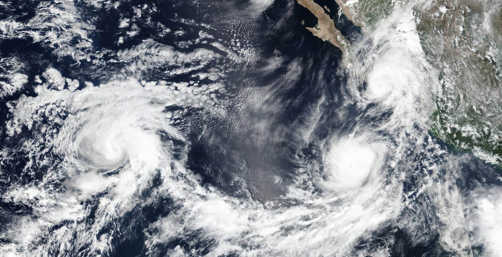
The vast expanse of the Eastern Pacific Ocean is currently a focal point of meteorological concern, as two distinct tropical systems, Hurricane Kiko and Tropical Storm Lorena, demand unwavering attention. While following separate trajectories, these powerful weather phenomena collectively underscore the immediate and developing risks of intense rainfall, consequential flooding, and hazardous conditions across Mexico, the U.S. Southwest, and the Hawaiian Islands. This dynamic dual threat necessitates continuous monitoring and preparedness from coastal communities and beyond.
Hurricane Kiko: A Formidable Presence Nearing Hawaii
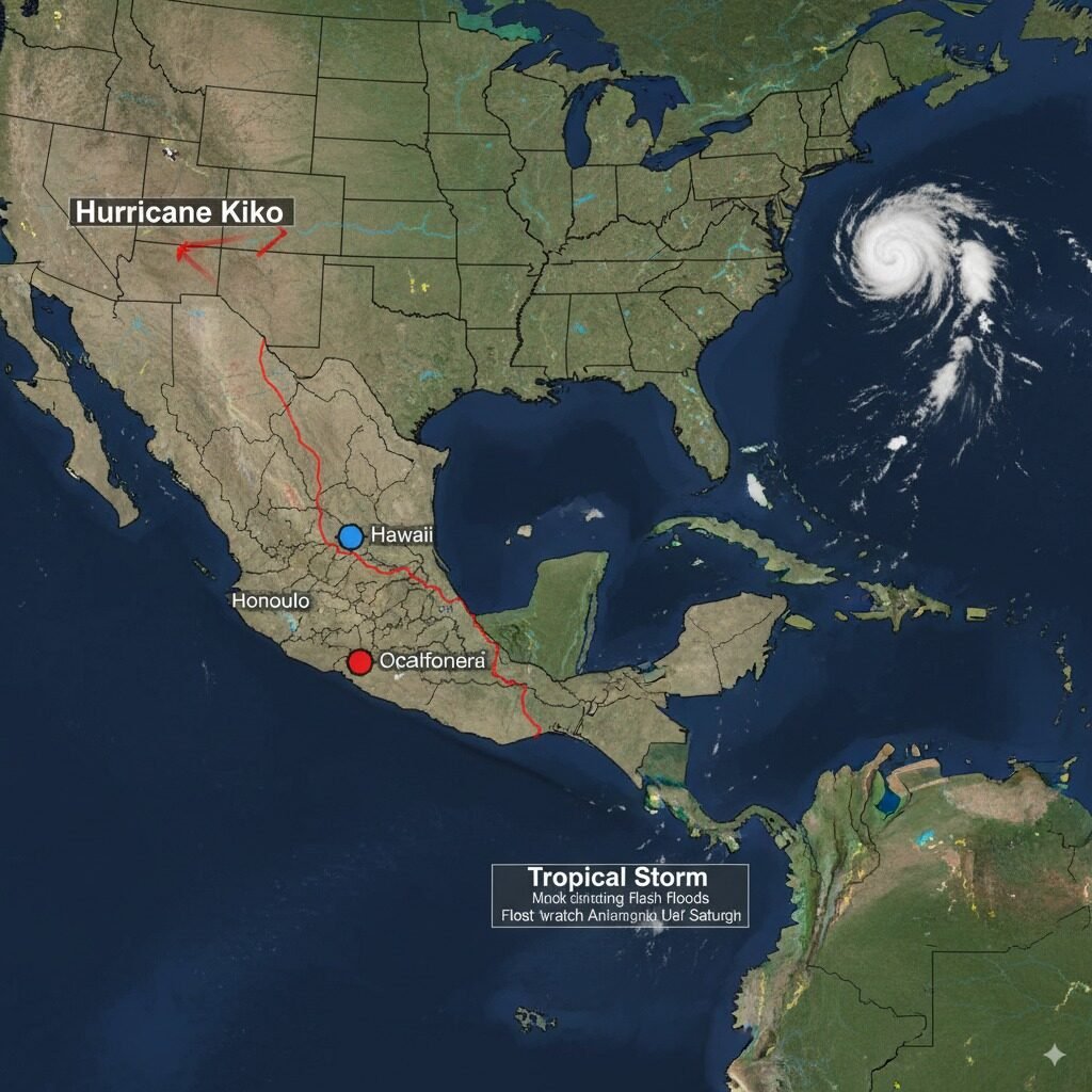
Hurricane Kiko, a formidable cyclonic system, recently demonstrated its strength by intensifying to a Category 4. Though it has shown a marginal weakening trend since late Wednesday, Kiko maintains its impressive stature with maximum sustained winds reported at 130 mph as of Thursday afternoon. Its westward progression places Hawaii firmly in its sights, albeit still over 1,000 miles from Honolulu. Forecasters are diligently tracking its every movement, with current models suggesting Kiko’s anticipated arrival near the islands in the early to mid-next week.
Meteorological experts are quick to emphasize that even a projected downgrade to a tropical storm would not diminish Kiko’s potential impact. The system is fully capable of delivering significant wind and torrential rainfall across the Hawaiian archipelago. Specific concerns highlight regions of the Big Island and Maui, where estimated rainfall totals of 4 to 8 inches could critically elevate the risk of flash flooding and destructive mudslides. While official watches and warnings for Hawaii have yet to be issued, residents are strongly advised to remain acutely aware of evolving forecasts and local emergency directives.
Tropical Storm Lorena: Delivering Immediate Deluge to Mexico, Extending Reach to US Southwest
In stark contrast, Tropical Storm Lorena, having recently transitioned from hurricane intensity, is already actively asserting its presence. Lorena’s immediate forecast projects extensive heavy rainfall across Mexico through Friday, sparking considerable apprehension regarding life-threatening flash floods and devastating mudslides, particularly within the country’s northwestern territories. Communities across Baja California Sur, southeastern Baja California, and southwestern Sonora are contending with the very real possibility of rainfall accumulating up to 15 inches. Vivid reports from locations such as Cabo San Lucas and Los Cabos already depict harrowing scenes of urban inundation, with streets transformed into torrents of mud and debris, and vehicles caught in the relentless sweep of flash floodwaters.
While Lorena is anticipated to diminish into a post-tropical depression by Friday night and eventually dissipate offshore without a direct landfall, its atmospheric legacy will extend considerably northward. Residual tropical moisture is forecast to surge into the U.S. Southwest through Saturday, poised to drench parts of Arizona and New Mexico with significant precipitation. This moisture plume is also projected to reach further inland, potentially affecting areas of Texas and Oklahoma, where its interaction with an approaching weak cold front could amplify rainfall totals and trigger localized flash flooding events. A Flood Watch remains in effect for Southern Arizona and Southeastern California. Concurrently, the coastal waters off Baja California are experiencing perilous surf and rip current conditions, with wave heights offshore reportedly reaching up to 12 feet.
These evolving meteorological events underscore the critical importance of preparedness. Residents in all potentially impacted areas are urged to maintain continuous engagement with credible weather information sources and to promptly adhere to all directives and warnings issued by local emergency management agencies.


